1. See and spot
Drone and satellite maps show how the crop is growing. Hooshi marks the parts falling behind the rest of the field and gives each one a number.
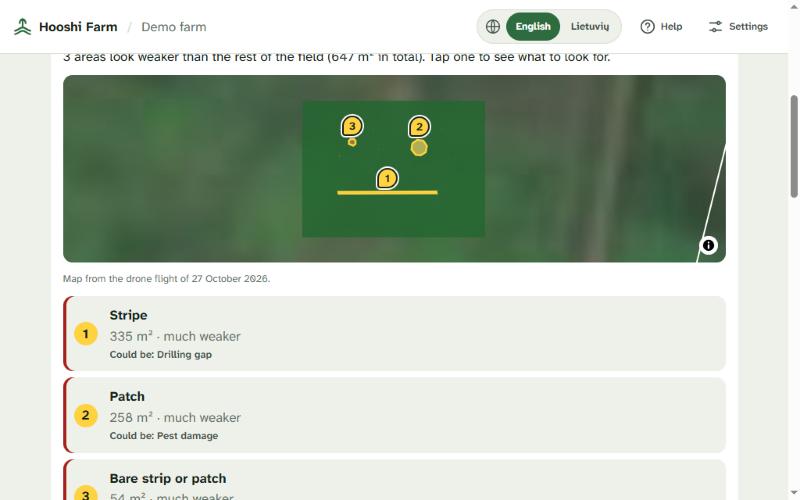
Hooshi Farm brings together what can be seen from above and what is known on the ground, then keeps checking until the picture is clear.
Follow a farmer from setting up a field to getting clear advice. The walkthrough uses demo data.
Drone and satellite maps show how the crop is growing. Hooshi marks the parts falling behind the rest of the field and gives each one a number.
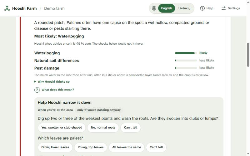
It ranks the likely causes using weather, soil and history, and shows its reasoning. Quick questions and field checks then update the picture.
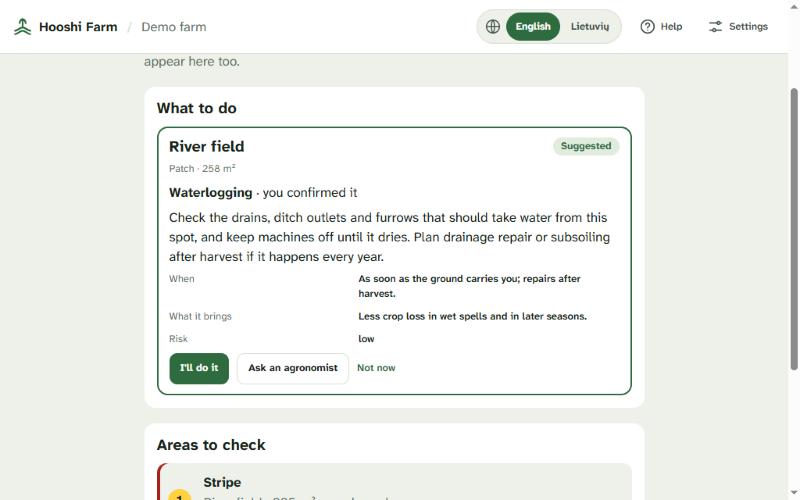
Advice comes once Hooshi is confident or the farmer has confirmed the cause. Riskier actions need an agronomist’s approval. The next flight measures the same area again.
Screens from the working platform, using demo data.